
San Francisco Ocotlán (Ocotlán) topographic map
Interactive map
Click on the map to display elevation.
About this map
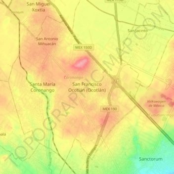
Name: San Francisco Ocotlán (Ocotlán) topographic map, elevation, terrain.
Average elevation: 7,165 ft
Minimum elevation: 6,975 ft
Maximum elevation: 7,306 ft