
Valdehierro topographic map
Interactive map
Click on the map to display elevation.
About this map
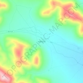
Name: Valdehierro topographic map, elevation, terrain.
Location: Valdehierro, Montes, Ciudad Real, Castilla-La Mancha, España (39.23807 -4.03126 39.27807 -3.99126)
Average elevation: 2,592 ft
Minimum elevation: 2,283 ft
Maximum elevation: 3,304 ft