
Dantumadiel topographic map
Interactive map
Click on the map to display elevation.
About this map
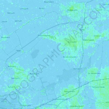
Name: Dantumadiel topographic map, elevation, terrain.
Location: Dantumadiel, Friesland, Nederland (53.22770 5.88224 53.32563 6.07775)
Average elevation: 0 ft
Minimum elevation: -20 ft
Maximum elevation: 16 ft