
Kampung Pulai topographic map
Interactive map
Click on the map to display elevation.
About this map
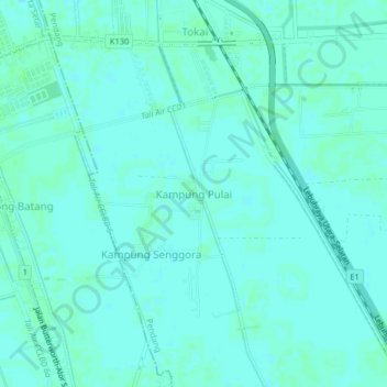
Name: Kampung Pulai topographic map, elevation, terrain.
Location: Kampung Pulai, Pendang, Kedah, Malaysia (5.99175 100.38679 6.03175 100.42679)
Average elevation: 13 ft
Minimum elevation: 3 ft
Maximum elevation: 23 ft