
白玉县 topographic map
Interactive map
Click on the map to display elevation.
About this map
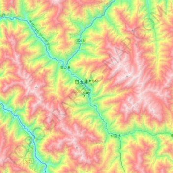
Name: 白玉县 topographic map, elevation, terrain.
Location: 白玉县, 甘孜藏族自治州, 四川省, 中国 (31.05285 98.66253 31.37285 98.98253)
Average elevation: 12,989 ft
Minimum elevation: 9,400 ft
Maximum elevation: 16,581 ft
Other topographic maps
Click on a map to view its topography, its elevation and its terrain.