
Odawara topographic map
Interactive map
Click on the map to display elevation.
About this map
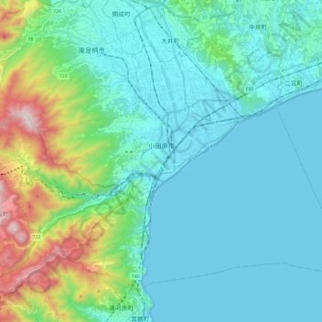
Name: Odawara topographic map, elevation, terrain.
Location: Odawara, Prefectura de Kanagawa, Japón (35.17791 139.05891 35.32992 139.29408)
Average elevation: 673 ft
Minimum elevation: 0 ft
Maximum elevation: 3,760 ft