
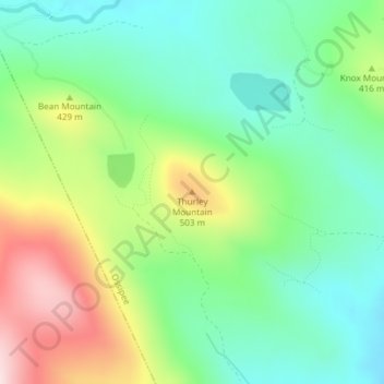
Thurley Mountain topographic map
Interactive map
Click on the map to display elevation.
About this map
Name: Thurley Mountain topographic map, elevation, terrain.
Average elevation: 1,266 ft
Minimum elevation: 856 ft
Maximum elevation: 2,028 ft
Other topographic maps
Click on a map to view its topography, its elevation and its terrain.
Center Ossipee
United States > New Hampshire > Carroll County > Ossipee
Center Ossipee, Ossipee, Carroll County, New Hampshire, 03814, United States
Average elevation: 515 ft
West Ossipee
United States > New Hampshire > Carroll County > Ossipee
West Ossipee, Ossipee, Carroll County, New Hampshire, 03890, United States
Average elevation: 548 ft