
Diara topographic map
Interactive map
Click on the map to display elevation.
About this map
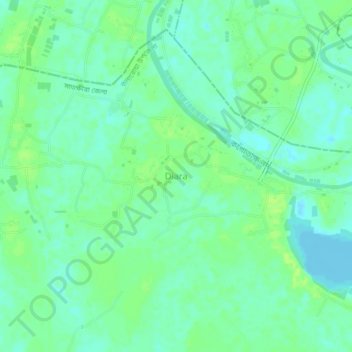
Name: Diara topographic map, elevation, terrain.
Location: Diara, Khulna Division, Bangladesh (22.90456 89.06144 22.94456 89.10144)
Average elevation: 23 ft
Minimum elevation: -7 ft
Maximum elevation: 43 ft