
Flémalle topographic map
Interactive map
Click on the map to display elevation.
About this map
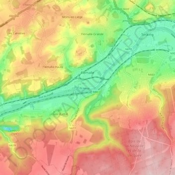
Name: Flémalle topographic map, elevation, terrain.
Location: Flémalle, Luik, Wallonië, 4400, België (50.55704 5.38045 50.62937 5.48897)
Average elevation: 505 ft
Minimum elevation: 79 ft
Maximum elevation: 892 ft
Other topographic maps
Click on a map to view its topography, its elevation and its terrain.
Fort de Flémalle
Fort de Flémalle, Avenue du Fort, Flémalle, Luik, Wallonië, 4400, België
Average elevation: 413 ft