Geolocate

Todd Mission topographic map

Click on the map to display elevation.

About this map

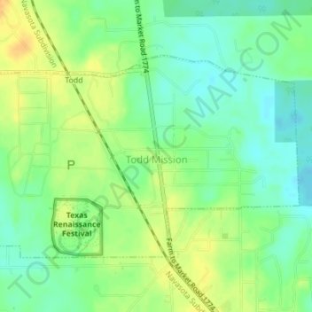
Name: Todd Mission topographic map, elevation, terrain.

Location: Todd Mission, Grimes County, Texas, United States (30.25079 -95.84560 30.27023 -95.81490)

Average elevation: 289 ft

Minimum elevation: 246 ft

Maximum elevation: 338 ft

Grimes County trails, hiking, mountain biking, running and outdoor activities

Other topographic maps

Click on a map to view its topography, its elevation and its terrain.

Singleton

United States > Texas > Grimes County

Average elevation: 341 ft

Gear up for your next adventure:

🪄Magnetic Compass - Accurate compass for navigation
🔥Fast-Boil Camping Stoves - Efficient cooking systems for quick trail meals
🪶Compact Camp Shovel - Folding shovel for campsite tasks
🔭Stargazing Telescopes - Perfect for camping in low-light pollution areas shown on maps
🪶Multi‑Purpose Knife - Useful blade for camp and trail

As an Amazon Associate, this site earns from qualifying purchases at no extra cost to you.