
San Luis Coyotzingo topographic map
Interactive map
Click on the map to display elevation.
About this map
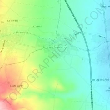
Name: San Luis Coyotzingo topographic map, elevation, terrain.
Location: San Luis Coyotzingo, Huejotzingo, Puebla, 74165, México (19.17808 -98.46752 19.21144 -98.42192)
Average elevation: 7,585 ft
Minimum elevation: 7,402 ft
Maximum elevation: 7,969 ft
Other topographic maps
Click on a map to view its topography, its elevation and its terrain.
Santa Ana Xalmimilulco
México > Puebla > Huejotzingo
Santa Ana Xalmimilulco, Huejotzingo, Puebla, México
Average elevation: 7,283 ft