Geolocate

Renhuai topographic map

Click on the map to display elevation.

About this map

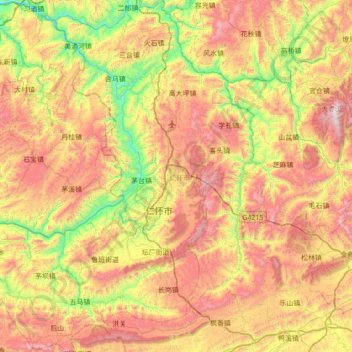
Name: Renhuai topographic map, elevation, terrain.

Location: Renhuai, Zunyi, Guizhou, China (27.55586 105.99741 28.17255 106.59880)

Average elevation: 3,268 ft

Minimum elevation: 1,063 ft

Maximum elevation: 5,997 ft

Gear up for your next adventure:

📌Outdoor GPS Map App - Apps and devices for digital topographic navigation
🧷Carabiner Set - Durable clips for gear attachment
🔋Solar Power Banks - Keep your GPS and phone charged in remote wilderness areas
🛡️Bear Spray Outdoor - Protection in bear country hikes
🌎3D Topographic Globes - Raised relief globes for a tactile understanding of geography

As an Amazon Associate, this site earns from qualifying purchases at no extra cost to you.