
Itri topographic map
Interactive map
Click on the map to display elevation.
About this map
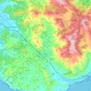
Name: Itri topographic map, elevation, terrain.
Location: Itri, Latina, Italie (41.23760 13.45266 41.36974 13.60312)
Average elevation: 1,391 ft
Minimum elevation: -3 ft
Maximum elevation: 4,281 ft