
Rietz topographic map
Interactive map
Click on the map to display elevation.
About this map
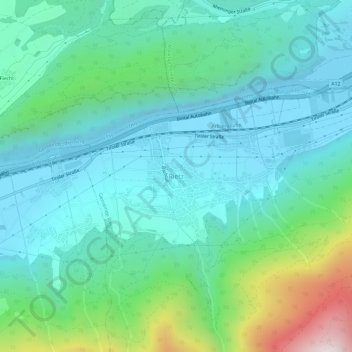
Name: Rietz topographic map, elevation, terrain.
Location: Rietz, Bezirk Imst, Tirol, 6421, Österreich (47.26742 11.00917 47.30742 11.04917)
Average elevation: 2,887 ft
Minimum elevation: 2,037 ft
Maximum elevation: 6,007 ft
Die komplette Liste der Statistik Austria ist in: Topographische Siedlungskennzeichnung nach STAT