
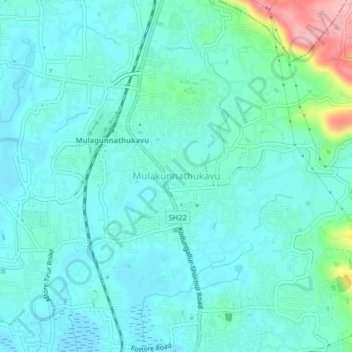
Mulakunnathukavu topographic map
Interactive map
Click on the map to display elevation.
About this map
Name: Mulakunnathukavu topographic map, elevation, terrain.
Location: Mulakunnathukavu, Thrissur, Kerala, 680596, India (10.57057 76.19508 10.61057 76.23508)
Average elevation: 92 ft
Minimum elevation: 7 ft
Maximum elevation: 476 ft