
Hindu Kush topographic map
Interactive map
Click on the map to display elevation.
About this map
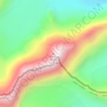
Name: Hindu Kush topographic map, elevation, terrain.
Location: Hindu Kush, Wakhan, Badakhshan, Afghanistan (36.89363 73.26779 36.89373 73.26789)
Average elevation: 16,942 ft
Minimum elevation: 15,456 ft
Maximum elevation: 18,963 ft
Other topographic maps
Click on a map to view its topography, its elevation and its terrain.
Panj river
Panj river, Raghistan, Badakhshan, Afghanistan
Average elevation: 8,468 ft