
Los naranjos topographic map
Interactive map
Click on the map to display elevation.
About this map
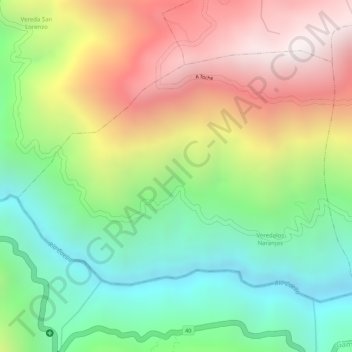
Name: Los naranjos topographic map, elevation, terrain.
Location: Los naranjos, Ibagué, Tolima, Colombia (4.41520 -75.36437 4.43323 -75.33671)
Average elevation: 5,850 ft
Minimum elevation: 4,255 ft
Maximum elevation: 7,759 ft