
La Pila topographic map
Interactive map
Click on the map to display elevation.
About this map
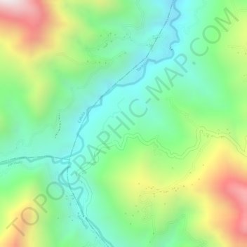
Name: La Pila topographic map, elevation, terrain.
Location: La Pila, Belen, Toribío, Cauca, Colombia (2.98588 -76.31751 3.00588 -76.29751)
Average elevation: 4,977 ft
Minimum elevation: 4,131 ft
Maximum elevation: 6,401 ft