
水西沟镇 topographic map
Interactive map
Click on the map to display elevation.
About this map
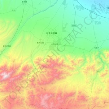
Name: 水西沟镇 topographic map, elevation, terrain.
Location: 水西沟镇, 乌鲁木齐县, 乌鲁木齐市, 新疆维吾尔自治区, 830000, 中国 (43.26493 87.37822 43.61127 87.64541)
Average elevation: 6,283 ft
Minimum elevation: 3,652 ft
Maximum elevation: 11,299 ft
Other topographic maps
Click on a map to view its topography, its elevation and its terrain.