
Antas topographic map
Interactive map
Click on the map to display elevation.
About this map
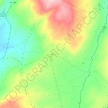
Name: Antas topographic map, elevation, terrain.
Location: Antas, Penedono, Viseu, 3630-225, Portugal (40.92314 -7.40800 40.96314 -7.36800)
Average elevation: 2,736 ft
Minimum elevation: 2,365 ft
Maximum elevation: 3,235 ft
Other topographic maps
Click on a map to view its topography, its elevation and its terrain.