
Rio Chico (Real de Ostimuri) topographic map
Interactive map
Click on the map to display elevation.
About this map
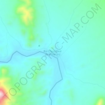
Name: Rio Chico (Real de Ostimuri) topographic map, elevation, terrain.
Location: Rio Chico (Real de Ostimuri), Rosario, Sonora, México (28.31489 -109.53293 28.35489 -109.49293)
Average elevation: 728 ft
Minimum elevation: 499 ft
Maximum elevation: 1,900 ft