
Lake Haven topographic map
Interactive map
Click on the map to display elevation.
About this map
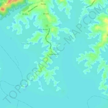
Name: Lake Haven topographic map, elevation, terrain.
Location: Lake Haven, Bedford County, Virginia, 23137, USA (37.03931 -79.59753 37.07931 -79.55753)
Average elevation: 814 ft
Minimum elevation: 794 ft
Maximum elevation: 915 ft