
Manasa topographic map
Interactive map
Click on the map to display elevation.
About this map
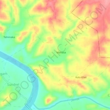
Name: Manasa topographic map, elevation, terrain.
Location: Manasa, Rawti Tahsil, Ratlam District, Madhya Pradesh, India (23.28860 74.75557 23.32281 74.78668)
Average elevation: 1,138 ft
Minimum elevation: 974 ft
Maximum elevation: 1,309 ft