
那果村 topographic map
Interactive map
Click on the map to display elevation.
About this map
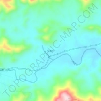
Name: 那果村 topographic map, elevation, terrain.
Location: 那果村, 扶隆镇, 防城区, 防城港市, 广西壮族自治区, 中国 (21.80862 107.96957 21.84862 108.00957)
Average elevation: 531 ft
Minimum elevation: 302 ft
Maximum elevation: 1,411 ft