
Sisters Island topographic map
Interactive map
Click on the map to display elevation.
About this map
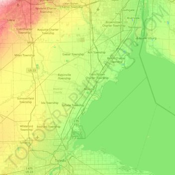
Name: Sisters Island topographic map, elevation, terrain.
Location: Sisters Island, Monroe, Monroe County, Michigan, 48161, USA (41.59949 -83.72410 42.23949 -83.08410)
Average elevation: 623 ft
Minimum elevation: 453 ft
Maximum elevation: 1,017 ft
Other topographic maps
Click on a map to view its topography, its elevation and its terrain.