
Sagstua topographic map
Interactive map
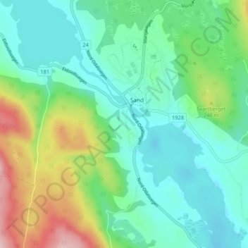
Click on the map to display elevation.
About this map
Name: Sagstua topographic map, elevation, terrain.
Location: Sagstua, Sand, Nord-Odal, Innlandet, 2120, Noruega (60.36818 11.51612 60.40818 11.55612)
Average elevation: 607 ft
Minimum elevation: 390 ft
Maximum elevation: 1,184 ft