
Country Park topographic map
Interactive map
Click on the map to display elevation.
About this map
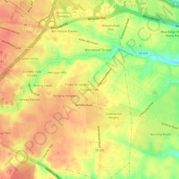
Name: Country Park topographic map, elevation, terrain.
Location: Country Park, Frederick County, Virginia, 22601, USA (39.15094 -78.14444 39.19094 -78.10444)
Average elevation: 663 ft
Minimum elevation: 545 ft
Maximum elevation: 725 ft