
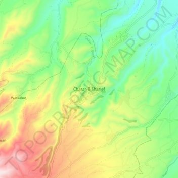
Charar-E-Sharief topographic map
Interactive map
Click on the map to display elevation.
About this map
Name: Charar-E-Sharief topographic map, elevation, terrain.
Average elevation: 6,371 ft
Minimum elevation: 5,535 ft
Maximum elevation: 7,700 ft
Other topographic maps
Click on a map to view its topography, its elevation and its terrain.
Yusmarg
India > Jammu and Kashmir > Charar- E- Shrief
Yusmarg, Charar- E- Shrief, Budgam District, Jammu and Kashmir, India
Average elevation: 7,953 ft