
Lanklaar topographic map
Interactive map
Click on the map to display elevation.
About this map
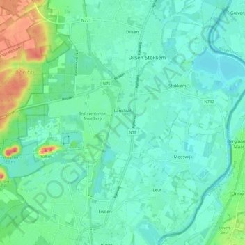
Name: Lanklaar topographic map, elevation, terrain.
Location: Lanklaar, Dilsen-Stokkem, Maaseik, Limbourg, Flandre, Belgique (50.99585 5.62246 51.02534 5.72920)
Average elevation: 138 ft
Minimum elevation: 82 ft
Maximum elevation: 325 ft