
Matagalls topographic map
Interactive map
Click on the map to display elevation.
About this map
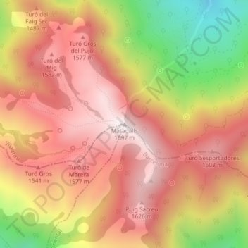
Name: Matagalls topographic map, elevation, terrain.
Location: Matagalls, Viladrau, Osona, Gerona, Cataluña, 08469, España (41.80875 2.38267 41.80885 2.38277)
Average elevation: 4,573 ft
Minimum elevation: 3,035 ft
Maximum elevation: 5,531 ft