
Imata topographic map
Interactive map
Click on the map to display elevation.
About this map
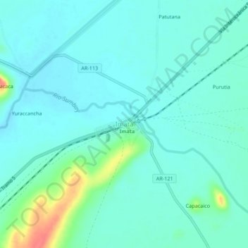
Name: Imata topographic map, elevation, terrain.
Location: Imata, Caylloma, Arequipa, Peru (-15.85806 -71.11124 -15.81806 -71.07124)
Average elevation: 14,590 ft
Minimum elevation: 14,551 ft
Maximum elevation: 14,741 ft