
Lago Azzurro (Lago delle Streghe) topographic map
Interactive map
Click on the map to display elevation.
About this map
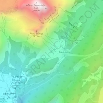
Name: Lago Azzurro (Lago delle Streghe) topographic map, elevation, terrain.
Average elevation: 6,391 ft
Minimum elevation: 5,167 ft
Maximum elevation: 9,058 ft