
Sławków topographic map
Interactive map
Click on the map to display elevation.
About this map
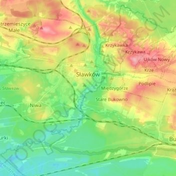
Name: Sławków topographic map, elevation, terrain.
Location: Sławków, Będzin County, Metropolis GZM, 41-260, Poland (50.25764 19.28063 50.32593 19.41434)
Average elevation: 994 ft
Minimum elevation: 840 ft
Maximum elevation: 1,227 ft