Geolocate

Townsend topographic map

Click on the map to display elevation.

About this map

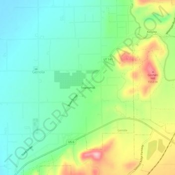
Name: Townsend topographic map, elevation, terrain.

Location: Townsend, Genola, Utah County, Utah, 84655, United States (39.97273 -111.84855 40.01273 -111.80855)

Average elevation: 4,718 ft

Minimum elevation: 4,498 ft

Maximum elevation: 5,144 ft

Utah County trails, hiking, mountain biking, running and outdoor activities

Gear up for your next adventure:

🥇GPS Hiking Watch - Multi‑sport GPS watch with navigation and trail tracking
🩹Survival Bandages - High‑quality bandages for emergencies
🧴Hand Sanitizer - Keep hands clean while hiking
🔥Fast-Boil Camping Stoves - Efficient cooking systems for quick trail meals
🏫Relief Map Kits - Hands-on tools for teaching landforms and elevation

As an Amazon Associate, this site earns from qualifying purchases at no extra cost to you.