
Villasanta topographic map
Interactive map
Click on the map to display elevation.
About this map
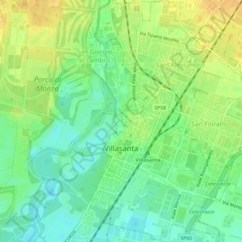
Name: Villasanta topographic map, elevation, terrain.
Location: Villasanta, MB, LOM, 20852, Itália (45.59279 9.29540 45.62169 9.32554)
Average elevation: 581 ft
Minimum elevation: 535 ft
Maximum elevation: 630 ft