
บ้านเทอดไทย topographic map
Interactive map
Click on the map to display elevation.
About this map
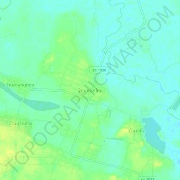
Name: บ้านเทอดไทย topographic map, elevation, terrain.
Location: บ้านเทอดไทย, จังหวัดร้อยเอ็ด, Tailandia (15.96072 103.82874 16.00072 103.86874)
Average elevation: 440 ft
Minimum elevation: 417 ft
Maximum elevation: 476 ft