
Loures topographic map
Interactive map
Click on the map to display elevation.
About this map
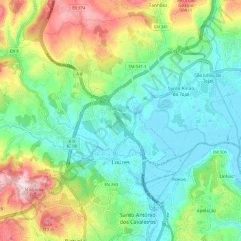
Name: Loures topographic map, elevation, terrain.
Location: Loures, Lisbonne, Portugal (38.81216 -9.24600 38.87677 -9.14530)
Average elevation: 367 ft
Minimum elevation: -3 ft
Maximum elevation: 1,161 ft