
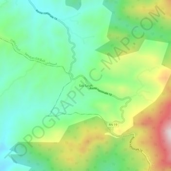
Sidi Salah topographic map
Interactive map
Click on the map to display elevation.
About this map
Name: Sidi Salah topographic map, elevation, terrain.
Location: Sidi Salah, Sendjas, Daïra Chlef, Chlef, Algérie (35.97838 1.43680 36.01838 1.47680)
Average elevation: 1,860 ft
Minimum elevation: 1,148 ft
Maximum elevation: 3,225 ft