
Ward 13 Hayath Nagar topographic map
Interactive map
Click on the map to display elevation.
About this map
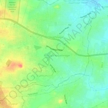
Name: Ward 13 Hayath Nagar topographic map, elevation, terrain.
Average elevation: 1,683 ft
Minimum elevation: 1,611 ft
Maximum elevation: 1,795 ft
Other topographic maps
Click on a map to view its topography, its elevation and its terrain.
Anmagal Hayathnagar
India > Telangana > Hayathnagar mandal > Hyderabad
Anmagal Hayathnagar, Hyderabad, Hayathnagar mandal, Rangareddy, Telangana, 501505, India
Average elevation: 1,680 ft