Chakan topographic map
Click on the map to display elevation.
Chakan
Shiroli Chandus village, located 6 km north of Chakan, had been identified as the probable site for the proposed Pune International Airport, but due to the protests by the villagers & uneven topography, the site has been shifted to Purandar.
About this map
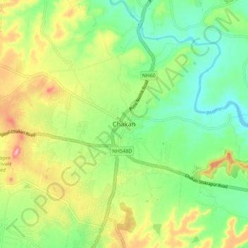
Name: Chakan topographic map, elevation, terrain.
Location: Chakan, Khed, Pune District, Maharashtra, 410500, India (18.72231 73.82254 18.80231 73.90254)
Average elevation: 2,047 ft
Minimum elevation: 1,864 ft
Maximum elevation: 2,336 ft
Other topographic maps
Click on a map to view its topography, its elevation and its terrain.