
Sebgag topographic map
Interactive map
Click on the map to display elevation.
About this map
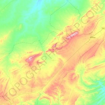
Name: Sebgag topographic map, elevation, terrain.
Location: Sebgag, Daïra Aflou, Laghouat, Algérie (33.86973 1.82142 34.24535 2.04806)
Average elevation: 4,446 ft
Minimum elevation: 3,743 ft
Maximum elevation: 5,604 ft