
柴家 topographic map
Interactive map
Click on the map to display elevation.
About this map
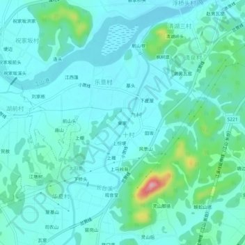
Name: 柴家 topographic map, elevation, terrain.
Location: 柴家, 江山市, 衢州市, 十村, 浙江省, 中国 (28.63517 118.56622 28.67517 118.60622)
Average elevation: 400 ft
Minimum elevation: 315 ft
Maximum elevation: 837 ft