
Cabezón de la Sal topographic map
Interactive map
Click on the map to display elevation.
About this map
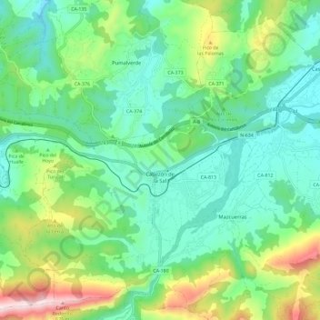
Name: Cabezón de la Sal topographic map, elevation, terrain.
Location: Cabezón de la Sal, Saja-Nansa, Cantabria, Cantabrie, Espagne (43.27485 -4.28463 43.35036 -4.16850)
Average elevation: 758 ft
Minimum elevation: 197 ft
Maximum elevation: 2,238 ft