
Rancocas Heights topographic map
Interactive map
Click on the map to display elevation.
About this map
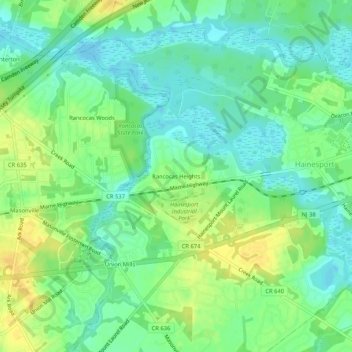
Name: Rancocas Heights topographic map, elevation, terrain.
Average elevation: 36 ft
Minimum elevation: -7 ft
Maximum elevation: 82 ft
Other topographic maps
Click on a map to view its topography, its elevation and its terrain.
Mount Holly Township
Vereinigte Staaten von Amerika > New Jersey > Burlington County
Mount Holly Township, Burlington County, New Jersey, Vereinigte Staaten von Amerika
Average elevation: 49 ft