
Sokoro topographic map
Interactive map
Click on the map to display elevation.
About this map
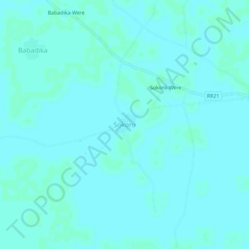
Name: Sokoro topographic map, elevation, terrain.
Location: Sokoro, Ségou Cercle, Ségou Region, Mali (13.47457 -5.32536 13.51457 -5.28536)
Average elevation: 906 ft
Minimum elevation: 899 ft
Maximum elevation: 909 ft