
Khajuraho topographic map
Interactive map
Click on the map to display elevation.
About this map
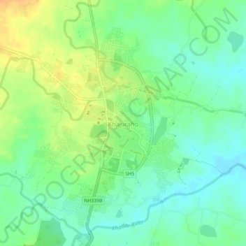
Name: Khajuraho topographic map, elevation, terrain.
Average elevation: 702 ft
Minimum elevation: 656 ft
Maximum elevation: 764 ft
Other topographic maps
Click on a map to view its topography, its elevation and its terrain.
Kishorganj
India > Madhya Pradesh > Rajnagar Tahsil > Bamitha
Kishorganj, Bamitha, Rajnagar Tahsil, Chhatarpur District, Madhya Pradesh, India
Average elevation: 804 ft