Geolocate

Tanjung Emas topographic map

Click on the map to display elevation.

About this map

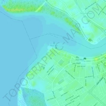
Name: Tanjung Emas topographic map, elevation, terrain.

Location: Tanjung Emas, Muar, Johor, Malaysia (2.04641 102.55089 2.04856 102.55367)

Average elevation: 13 ft

Minimum elevation: 0 ft

Maximum elevation: 46 ft

Other topographic maps

Click on a map to view its topography, its elevation and its terrain.

Muar

Malaysia > Johor > Muar

Average elevation: 23 ft

Gear up for your next adventure:

📡Handheld GPS Device - Reliable handheld GPS for outdoor navigation
🥘Titanium Cookware - Durable, featherlight pots and pans for backpacking
🧣Merino Neck Gaiters - Multi-functional headwear for wind and sun protection
🗻Climbing Gear Basics - Essential gear for beginner climbers
🏥Hiking First Aid Kits - Comprehensive medical kits for remote trail injuries

As an Amazon Associate, this site earns from qualifying purchases at no extra cost to you.