
Queenwood topographic map
Interactive map
Click on the map to display elevation.
About this map
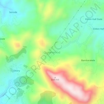
Name: Queenwood topographic map, elevation, terrain.
Location: Queenwood, Nuwara Eliya District, Central Province, Sri Lanka (6.87700 80.62358 6.91700 80.66358)
Average elevation: 4,859 ft
Minimum elevation: 4,154 ft
Maximum elevation: 6,155 ft