
Koekelberg topographic map
Interactive map
Click on the map to display elevation.
About this map
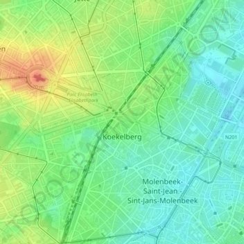
Name: Koekelberg topographic map, elevation, terrain.
Location: Koekelberg, Brussels-Capital, 1081, Belgium (50.85678 4.30701 50.86763 4.33774)
Average elevation: 115 ft
Minimum elevation: 46 ft
Maximum elevation: 236 ft