Garin topographic map
Interactive map
Click on the map to display elevation.
About this map
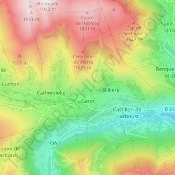
Name: Garin topographic map, elevation, terrain.
Average elevation: 4,321 ft
Minimum elevation: 2,746 ft
Maximum elevation: 6,280 ft

Click on the map to display elevation.
Name: Garin topographic map, elevation, terrain.
Average elevation: 4,321 ft
Minimum elevation: 2,746 ft
Maximum elevation: 6,280 ft